Applications
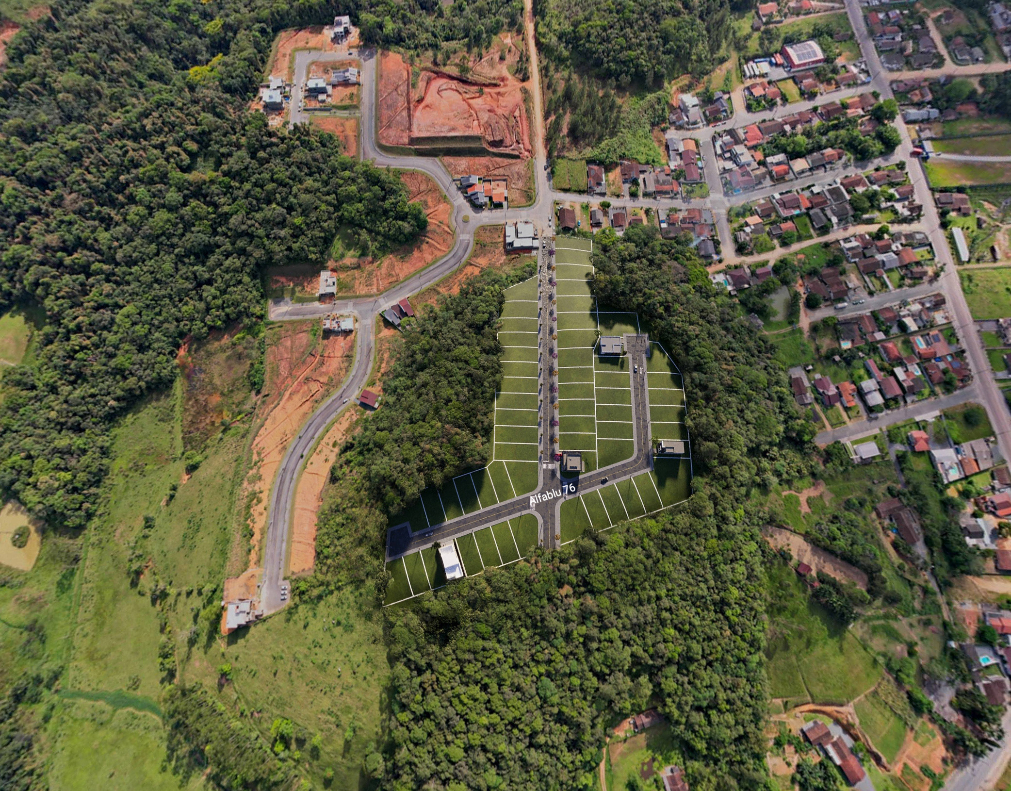
→ Real estate listings to showcase property surroundings.
→ Feasibility studies or presentations for residential and commercial developments.
→ Marketing materials for new projects.
The Canyons at Highland Ranch, Clermont, FL, USA
Builder: Taylor Morrison
Google Maps Location: https://maps.app.goo.gl/d1wGP3hfK9TMUfDX8
Lakefront Park, Saint Cloud, FL, USA.
Google Maps Location: https://maps.app.goo.gl/mbGkFsGF7MLoDRec6
Fire Creek, Gotha, FL, USA
Builder: Taylor Morrison
Google Maps Location: https://maps.app.goo.gl/D4qJubMysCcGTa4N7
The Isles At Lakewood Ranch
Builder: Toll Brothers
Google Maps Location: https://maps.app.goo.gl/YXH1SPCguJ945BC18
Wellness Ridge, Clermont, FL, USA
Builder: Lennar
Google Maps Location: https://maps.app.goo.gl/wd3QauztE2SCHVSV9
Land For Sale, Orlando, FL
Address: 4512 S Haiawassee Rd, Orlando, FL
Google Maps Location: https://maps.app.goo.gl/k5W87zpDrft8UuUW6

